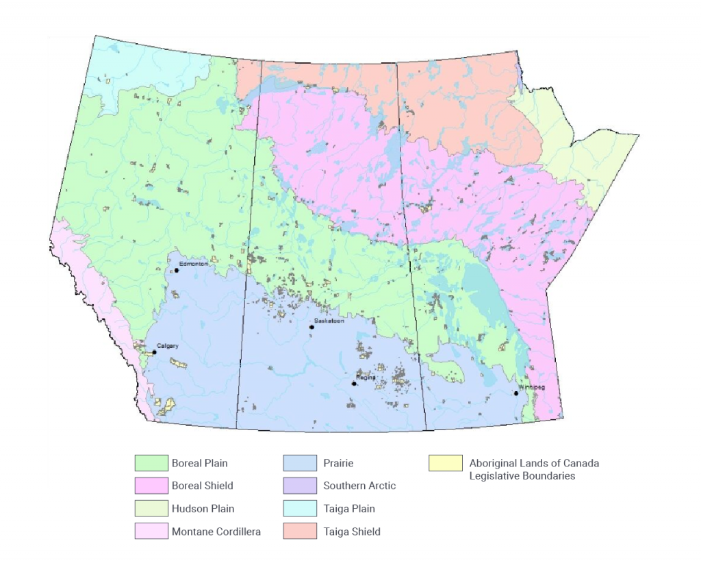
Figure 4.1: Map of the Ecozones of the Prairie Provinces also showing the Aboriginal Lands of Canada Legislative Boundaries, and major cities, rivers, and lakes.
Map of the Ecozones of the Prairie Provinces also showing the Aboriginal Lands of Canada Legislative Boundaries, and major cities, rivers, and lakes.