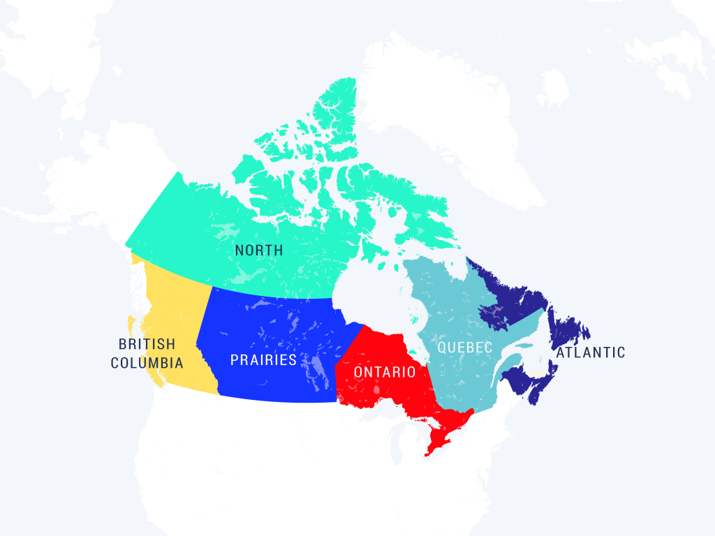
These six regions are defined by the political boundaries of the provinces and territories of Canada and match the regions analyzed in Canada’s Third National Assessment. The North region includes Yukon, Northwest Territories, and Nunavut. The Prairie region includes the provinces of Alberta, Saskatchewan, and Manitoba. The Atlantic region includes the provinces of New Brunswick, Nova Scotia, Prince Edward Island, and Newfoundland and Labrador. The remaining three regions encompass single provinces only (British Columbia, Ontario, and Quebec).