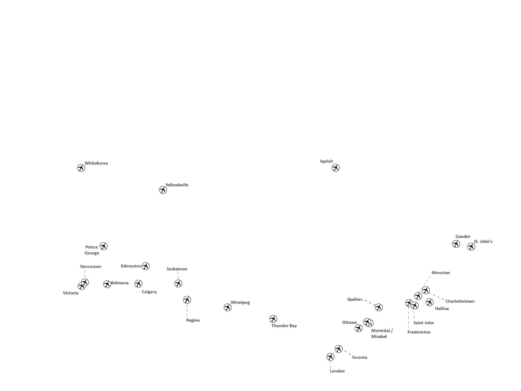
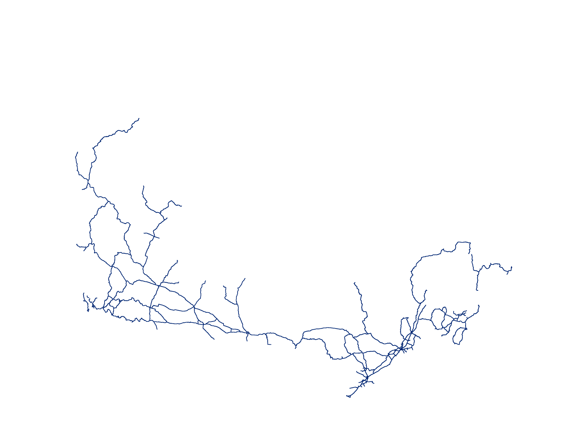
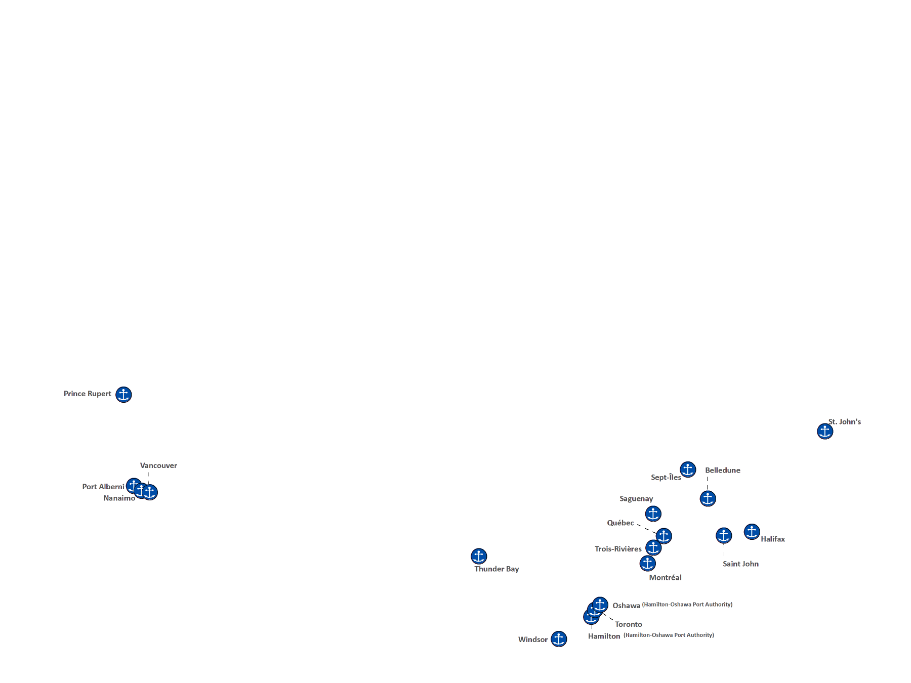
Maps of Canada’s national transportation systems, showing the National Airport System, the National Highway System, Canada Port Authorities and the National Railway Network.
Adapted from Transport Canada, 2017