Understanding and Assessing Impacts
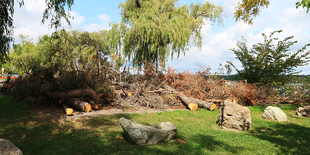
Historically, the upper Niagara River shoreline from Fort Erie to Niagara Falls was lined with ecologically rich coastal wetlands consisting of submergent and emergent aquatic vegetation that provide critical habitat for wildlife. The Niagara River experiences significant fluctuations in water levels due to variable conditions in Lake Erie, where wind patterns exert major influence on surface elevation. To slow the rate of erosion caused by these fluctuations, the shoreline was hardened with large boulders and other structural materials over time, resulting in the loss of natural nearshore habitat, particularly those critical for fish and aquatic species. This presented an opportunity to soften and restore the natural shoreline features by implementing a nature-based design approach that reduces flooding and erosion risk, while also enhancing ecological functions by reestablishing native vegetation and wildlife habitat.
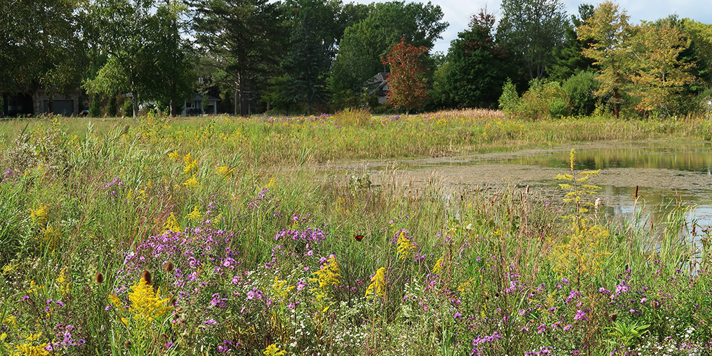
In addition to the reintroduction of native plant species, the NRCWR Program also places a strong emphasis on invasive plant management, with the overall goal of building a resilient shoreline and improving environmental quality and ecosystem function. In terms of climate resilience, project success is measured through the monitoring of species as ecological indicators – more specifically, the recovery of native fish populations and the return and strengthening of native plant communities.
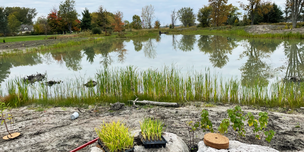
In 2019, the Habitat Restoration Plan developed by the New York State Department of Environmental Conservation, outlined approximately 100 acres of primarily shallow water/coastal wetland habitat critical for restoration on the U.S. side of the river. A shoreline assessment for the Canadian side was conducted in 2021 revealing that approximately 23% of the Niagara River Canadian shoreline has been hardened. This assessment identified seven locations along the upper Niagara River as ideal sites for coastal wetland restoration based on feasibility, site characteristics, and location. In 2021, a riparian study as part of an overall evaluation of the Upper Niagara River identified an additional 26 sites over a 10 km stretch strictly for riparian habitat improvement and management actions such as reduced mowing, invasive species removal, and planting of native vegetation.
Use of climate information in decision-making:
Climate data and projections directly influenced project decisions, particularly in species selection and habitat creation. Ecological data was provided by the MNR, which guided the development of fish habitat to establish long-term resilience. The NPC updated its ‘5-10-20 diversity formula’ (used in the development of planting plans to ensure that the species composition includes a maximum of 5% plants from the same species, 10% of the same genus, and 20% of the same family) to include a mix of plant species better adapted to evolving climate conditions and reduce the risk of a single stressor (e.g., disease outbreak) decimating the entire ecosystem. Throughout the project the selection of plant species were adjusted accordingly to reflect projected shifts in climate zones.
At the outset, modeling of current and future wave action along the shoreline was completed using various climate projection models for Lake Erie. This analysis revealed wave activity reaching heights of up to 1.5 metres, which prompted the consideration for nature-based solutions to be used to absorb and dissipate the wave energy. These measures protect the shoreline, enhance fish habitat and simultaneously deliver community benefits. Early design decisions were also guided by clear evidence of environmental change in the Niagara River, including rising water temperatures, unpredictable flooding, and declining species diversity. Biodiversity loss, in particular, emerged as a concern expected to intensify with projected and ongoing warming of lake waters.