Understanding and Assessing Impacts
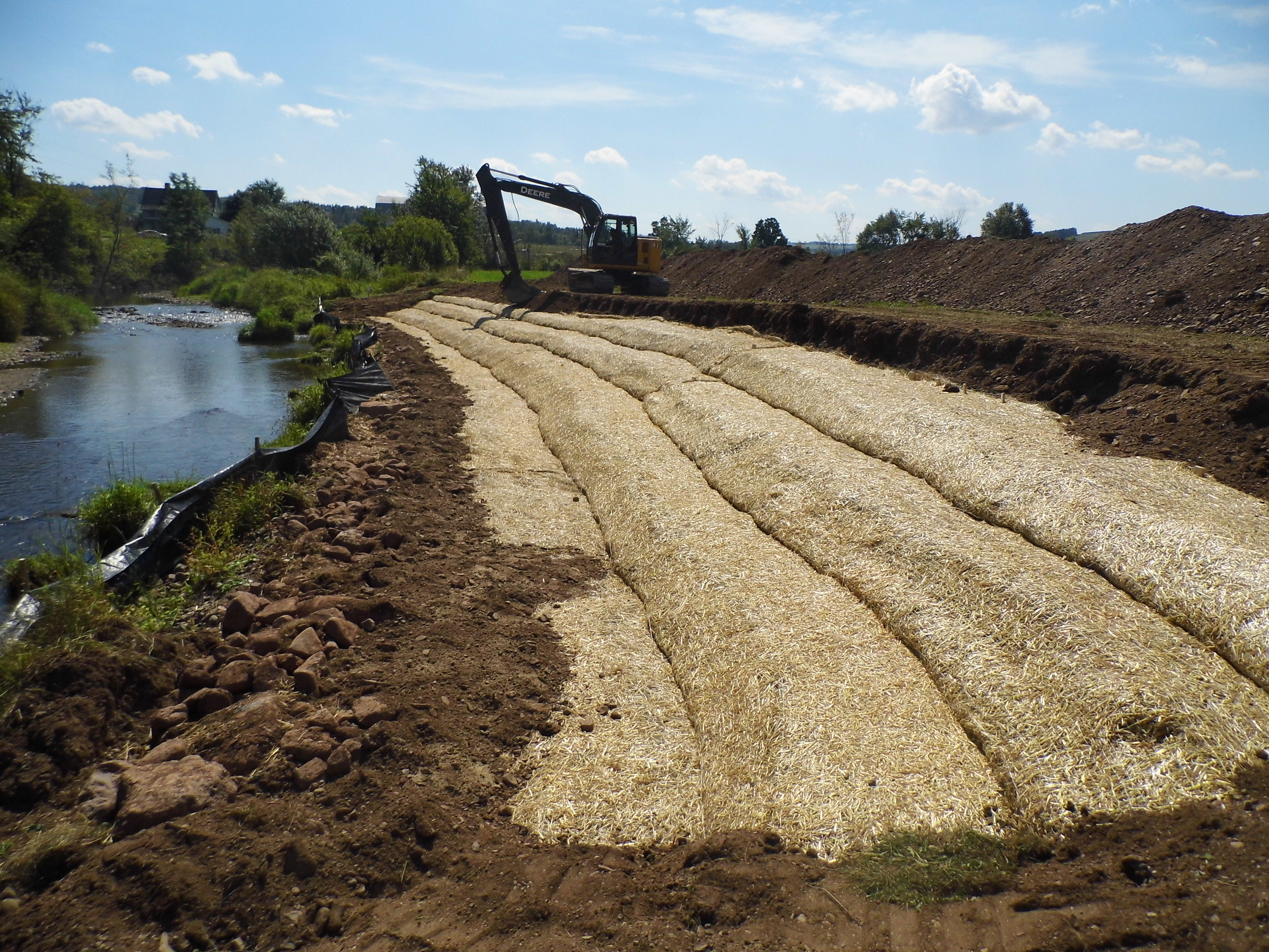
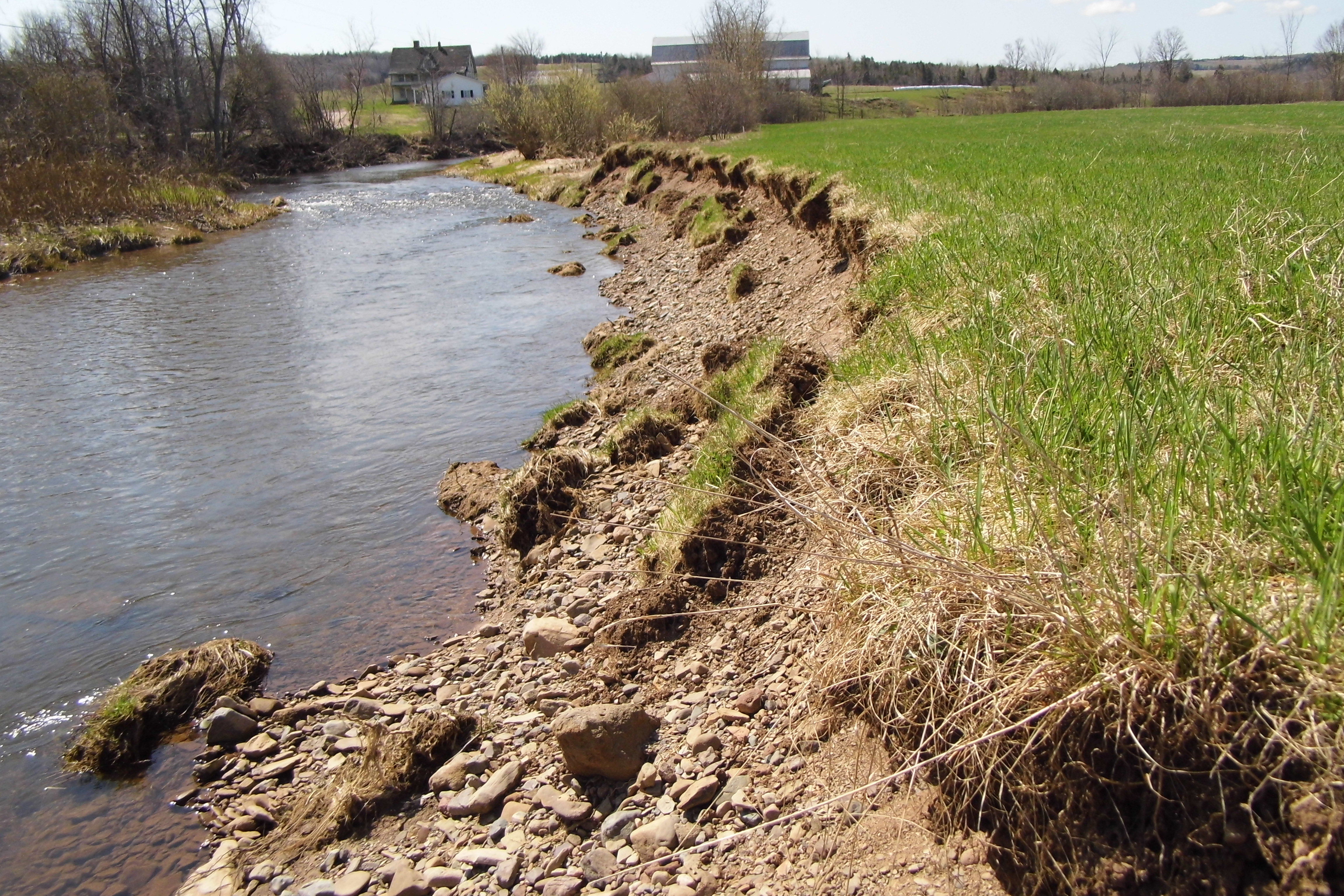
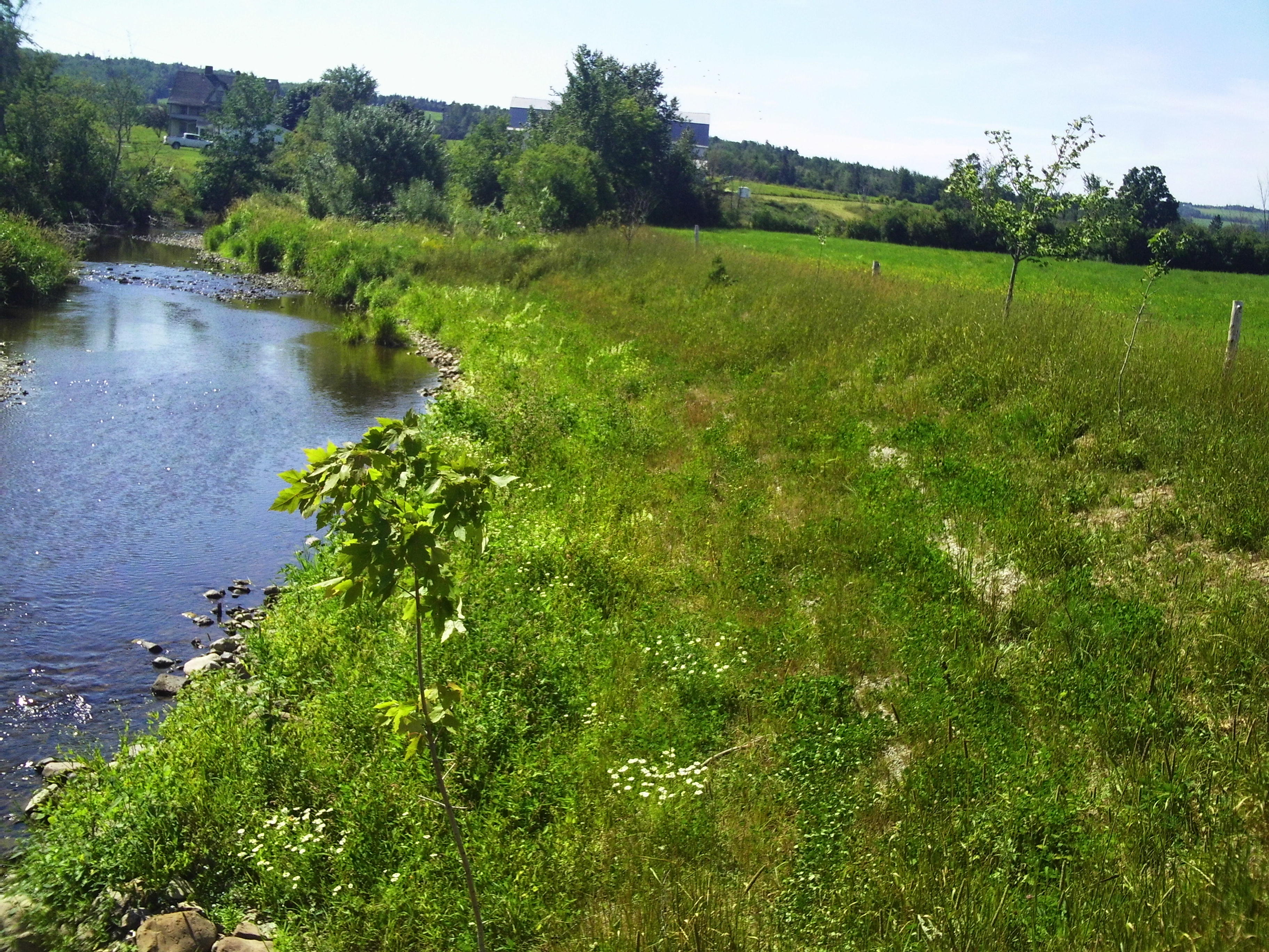
The Kennebecasis Restoration initiative began with a comprehensive habitat assessment of 285.5 km of stream. The results of this assessment highlighted the need to address elevated stream temperatures and degraded riparian zones to improve the health of the watershed. To address concerns over eroding banks and degraded riparian habitat, a restoration project was developed and implemented. Approximately 78% of the Kennebecasis Watershed consists of forested lands, with 19% consisting of agricultural and occupied lands. Agricultural, residential, and other occupied lands directly influence the water quality and habitat conditions of the watershed through cattle grazing, riparian vegetation removal, and agricultural and municipal runoff. Residential areas as well as rural residences, dot the entire length of the Kennebecasis River and its tributaries. Industries such as a potash mine, sawmills, and fish hatcheries are located throughout its reaches. Recreational industries including two golf courses can also be found on the Kennebecasis tributaries. Ward’s Creek is a key tributary of the Kennebecasis and in 2013 the KWRC identified a priority site on this Creek. In 2014, the bank was heavily eroded with a steep slope and minimal vegetation.


