Understanding and Assessing Impacts
The community proposed Rainway offered the City a strategic opportunity to address multiple infrastructure challenges in Mount Pleasant: mitigating localized flooding, increasing system capacity in an area experiencing ongoing residential growth, and improving water quality in the False Creek watershed.
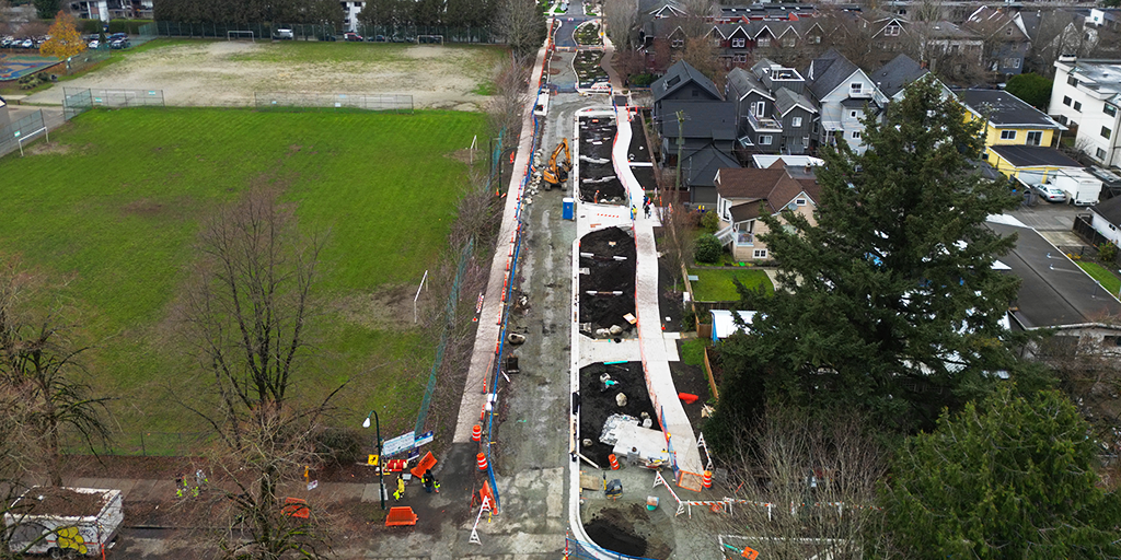
The corridor experienced localized flooding and development pressure associated with increased density in the neighbourhood. The existing sewer system is aging and operating near capacity, limiting its ability to accommodate additional rainwater flows. Without intervention, pipe upgrades would be needed in the near future to accommodate increased flows from continued development and climate change. The city estimated these sewer capacity upgrades to be approximately $16 million.
Water quality impacts were also a critical concern, as the corridor drains to False Creek—one of Vancouver’s most heavily used recreational water bodies. Pollutant sediments found in urban rainwater runoff pose risks to downstream ecological health and public use. Green rainwater infrastructure is one of the only effective methods to capture, treat and remove this polluted sediment before reaching our water ways.
Like many other areas, St George Street also faces broader urban challenges, like ongoing biodiversity loss, uneven tree canopy coverage and a lack of green space. Dense neighborhoods with limited vegetation and extensive paved surfaces are particularly vulnerable to urban heat island effects, increasing the frequency and intensity of extreme heat events.
Together, these conditions underscored the need for a multi-benefit approach to manage rainwater at the surface, improve water quality, enhance active transportation networks, support ecological function and improve livability.
Use of climate information in decision-making
The design of the Rainway was informed by a suite of City of Vancouver policies and strategic plan that have embedded regional climate data, global climate science, and climate adaptation strategies into their objectives. Key policies included the Rain City Strategy, Road Space Reallocation Program, Climate Emergency Action Plan (CEAP), Transportation 2040, Urban Forestry Strategy and Biodiversity Strategy. Collectively these strategies and policies have shaped the way rainwater management and transportation projects have been designed and implemented across the City.
The Rain City Strategy represents a fundamental shift in how rainwater is managed in Vancouver. The strategy set the city-wide goal to capture and clean at least 90% of Vancouver’s average annual rainfall and a design target to manage 48 mm of rainfall per day. These targets were informed by an analysis of historical rainfall patterns, climate projections, policy benchmarking, and professional expertise. For the Rainway, these targets informed hydraulic modeling and system design, with infrastructure sized to meet or exceed the Rain City Strategy design targets, where possible.
The City of Vancouver also has a long-standing policy framework that seeks to reallocate road space for low-emission transportation modes. More recently, Vancouver’s CEAP has set emissions targets to reduce the city’s carbon pollution by 50% by 2030. The Rainway was guided by CEAP and Vancouver’s Road Reallocation Program which aims to convert regular streets into public space, prioritizing walking, cycling, transit, and green infrastructure.
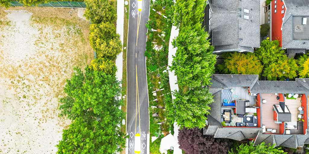
At the site scale, regional climate data and GIS mapping tools have informed site-specific design decisions. Climate Projections for Metro Vancouver (2016), which anticipates wetter winters and hotter, drier summers by mid-century, for example, informed the Rainway’s landscape strategies. Planting design prioritized drought-tolerant and climate-resilient species, while also supporting urban biodiversity. Urban forestry and heat vulnerability data, including LiDAR-based canopy analysis, GIS mapping, and aerial imagery, identified the St. George corridor as particularly susceptible to extreme heat, reinforcing the need for increased tree canopy, shade, and vegetated systems to mitigate urban heat island effects and improve long-term climate resilience.
Integrated bioretention system