Understanding and Assessing Impacts
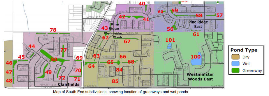
Prior to development, the predominant land use was agricultural. The topography of the site was relatively flat, with a small kettle lake located in the area that would become Westminster Woods East. There were no existing natural or man-made connections to Hanlon Creek or its tributaries – all rainfall would infiltrate onsite. Only rainfall events greater than the regional storm would generate surface runoff that would leave the site. The total size of the South End subdivisions is quite large (approx. 250 Hectares) and has developed through the course of multiple phases. The developments are mixed use, comprising single detached housing, multi-residential townhouses and low-rise buildings, as well as schools and commercial shopping areas. The subdivisions are well integrated within the community, and include an extensive recreational walking trail system and public transit routes that travel through the subdivision. The site also includes a number of green demonstration homes, including Canada’s first LEED Platinum home and a water efficient Blue Built Home.
While climate impacts and risks were not the driving motivation behind the use of infiltration practices at the South End subdivisions, increasing the use of greenways, bioretention and other innovative stormwater management techniques enhances the regions climate resilience in dealing with the impacts of increasing precipitation and extreme storm events.

