Understanding and Assessing Impacts
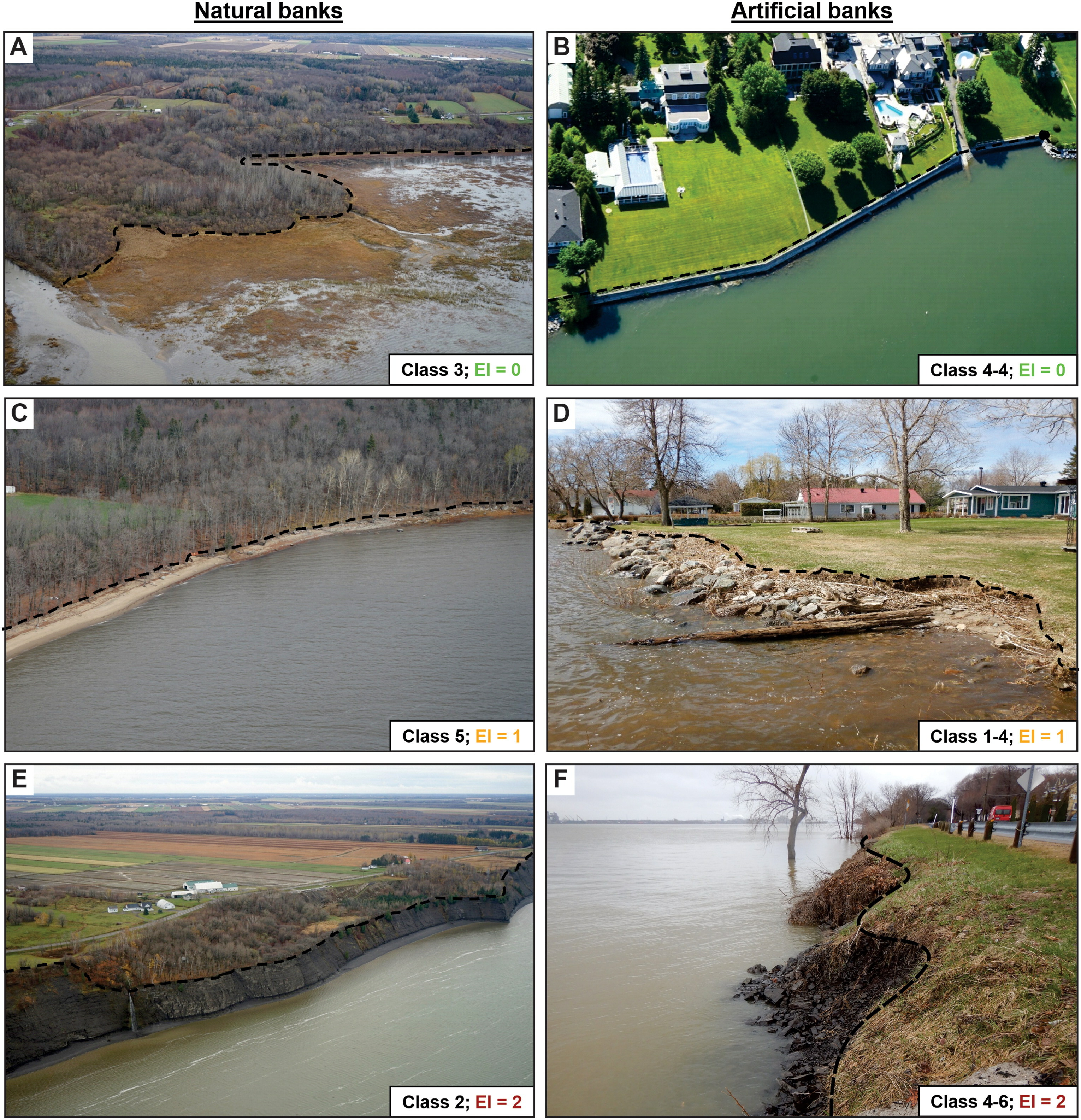
Coastal and riparian municipalities along the St. Lawrence River are exposed to water level fluctuations and shoreline erosion, the frequency and intensity of which are affected by climate change. These hazards are important components of the river system that control the evolution of shorelines and coastal ecosystems, but they pose a significant threat to the built environment and the safety of populations. The project is part of the “fluvial section” component of measure 2.6 of the Quebec government’s 2013-2020 Action Plan on Climate Change (PACC), which aims to support municipalities located along the St. Lawrence facing coastal erosion. In addition, the major floods experienced in various parts of the province during the spring of 2017 and 2019 have highlighted the importance of revising existing planning tools and collecting new data to improve the management of hydrometeorological hazards. This project relied on close collaboration with the organizations coordinating the Regional Round Tables (TCR) in the territory concerned, as well as with the Ouranos team involved in a joint project that is also part of this PACC measure.
